Webinar: Enhancing Productivity and Safety at Trevali’s Rosh Pinah and Perkoa mines
Watch this webinar to discover how Trevali’s Rosh Pinah deploys Hovermap in its underground mine to support planned expansion.

Watch this webinar to discover how Trevali’s Rosh Pinah deploys Hovermap in its underground mine to support planned expansion.

Unrivaled SLAM Accuracies and Workflow Efficiencies with Hovermap ST and the Automated Ground Control Feature

Listen to this recorded webinar to hear from some of the team using 3D reality capture in support of digital archeology to study and preserve the Quinkan rock art sites.

Watch this webinar to learn how placing second in the DARPA SubTerranean Challenge allowed Emesent to advance their technology’s autonomous capabilities in exploration and mapping in underground environments.

Data capture in the mining industry has been exponentially evolving over the last 10 years. We are capturing data at an increased resolution and accuracy. Rich information can be at ever-shorter intervals of time, enabling live modelling and dynamic planning that is continuously adapting in order to achieve the company’s business goals. Furthermore, advances in data analytics and analysis optimise and influence future decision making.

Producing better outputs, faster with Hovermap data in PointCab Origins
Find out how two spatial data experts are reducing the time they spend capturing existing structures and help their clients achieve considerable savings with Hovermap’s versatility
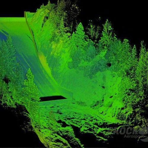
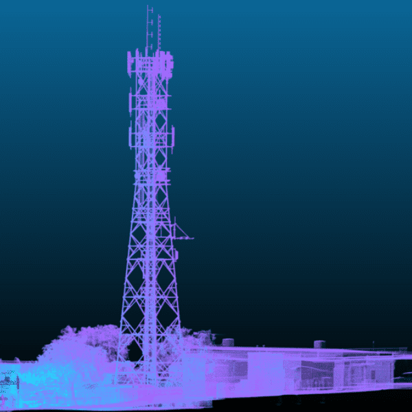
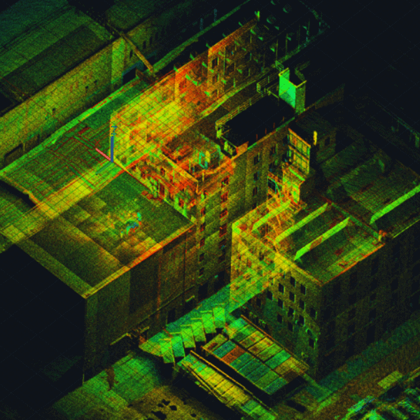
Eric Bennett, President and Founder of EROCK LLC, shares how they reduce time on site, keep away from hazards and capture accurate data with Hovermap.
Hear from three data capture experts how they have improved their workflows for their construction and infrastructure projects.
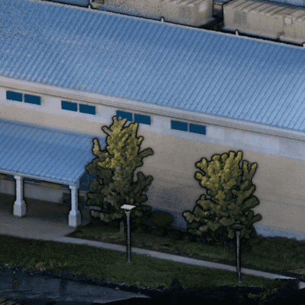
Hovermap customers talk about how they are able to reduce their time on site and capture high quality colorized point clouds for AEC bid jobs, facility management, floor plans, and other A&E projects.